NOAA Revises Rainfall Qualifying as 100-Year or 1,000-Year Events in Texas
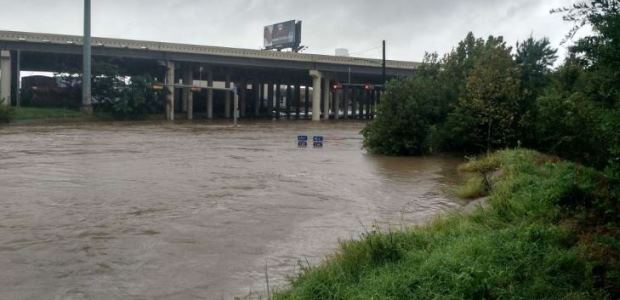
In Austin, 100-year rainfall amounts for 24 hours increased as much as three inches, up to 13 inches. 100-year estimates around Houston increased from 13 inches to 18 inches and values previously classified as 100-year events are now much more frequent 25-year events.
A NOAA analysis released last week finds significantly higher rainfall frequency values in parts of Texas, redefining the amount of rainfall it takes to qualify as a 100-year or 1,000-year event. The study, published as NOAA Atlas 14, Volume 11 Precipitation-Frequency Atlas of the United States, Texas, found increased values in parts of Texas, including cities such as Austin and Houston, that will result in changes to the rainfall amounts that define 100-year events, which are those that on average occur every 100 years or have a one percent chance of happening in any given year.
In Austin, 100-year rainfall amounts for 24 hours increased as much as three inches, up to 13 inches. 100-year estimates around Houston increased from 13 inches to 18 inches and values previously classified as 100-year events are now much more frequent 25-year events.
NOAA Atlas 14 rainfall values are used for infrastructure design and planning activities under federal, state, and local regulations. They also help delineate flood risks, manage development in floodplains for FEMA's National Flood Insurance Program, and are used to monitor precipitation observations and forecasts that can indicate flooding threats by NOAA's National Weather Service.
"NOAA's new rainfall frequency values for Texas will help state and local authorities better understand their flood risk and more accurately plan and design infrastructure to minimize the threat of flooding," said Thomas Graziano, Ph.D., director of the NOAA Office of Water Prediction.
Current standards used for infrastructure design and floodplain regulations are likely to be revised based on the new values. Officials in locations that have seen significant increases are already assessing the potential impacts of adopting the new estimates based on NOAA's preliminary data shared during the study's peer-review process during the past year; the new values supersede those currently available for Texas from the 1960s and 1970s. Funding for NOAA Atlas 14 Volume 11 was provided by key stakeholders, including the U.S. Army Corps of Engineers-Fort Worth District, Texas Department of Transportation, Brazos River Authority, Harris County Flood Control District, City of Austin, and City of Fort Worth.